Hurricane Ian Update
Heads up, Eagle Nation!
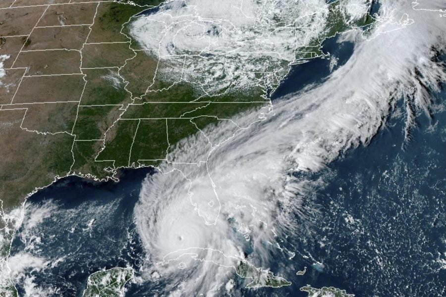
We are continuing to keep an “eye” on Hurricane Ian.
While there has been no change to the University operations as of yet, the Weather Channel states that although the strength has diminished as of right now since hitting Cuba (wind strengths are now down to 115 mph), “Do not be fooled; this storm will strengthen once again.”
Watches have now been extended to the north to include parts of Georgia and South Carolina. Right now, it has been tracked to hit landfall Wednesday night just south of Tampa and is tracked to move north/northeast.
Tuesday at 11 am EDT, the National Weather Service in Charleston and South Carolina issued a Tropical Storm Watch and Storm Surge Watch for the areas of Coastal Chatham County, such as Savannah, Tybee Island, and Ossabaw Island. This could mean the potential for 39 to 57 mph winds with 4 to 8 inches of rain. With winds this strong, there is also the potential for tornadoes.
If you look at the ten-day forecast for the area, the rain is predicted to begin in earnest on Wednesday in Savannah and the surrounding areas, but Thursday is the day it most likely hit full force with a 100% chance of rain and strong winds of 20 to 30 mph.
The unfortunate truth is that while forecasts try to plan, storms like these can be unpredictable. So we ask our fellow Eagles faculty, staff, and students to be prepared. Check updates frequently, keep an ear and eye out for Eagle Alerts, try to have a game plan in place just in case of shelter or evacuation, look out for yourselves and each other, and stay safe!


